
EXPOSED Project Kick-Off: Resilience in the Face of Geological Hazards
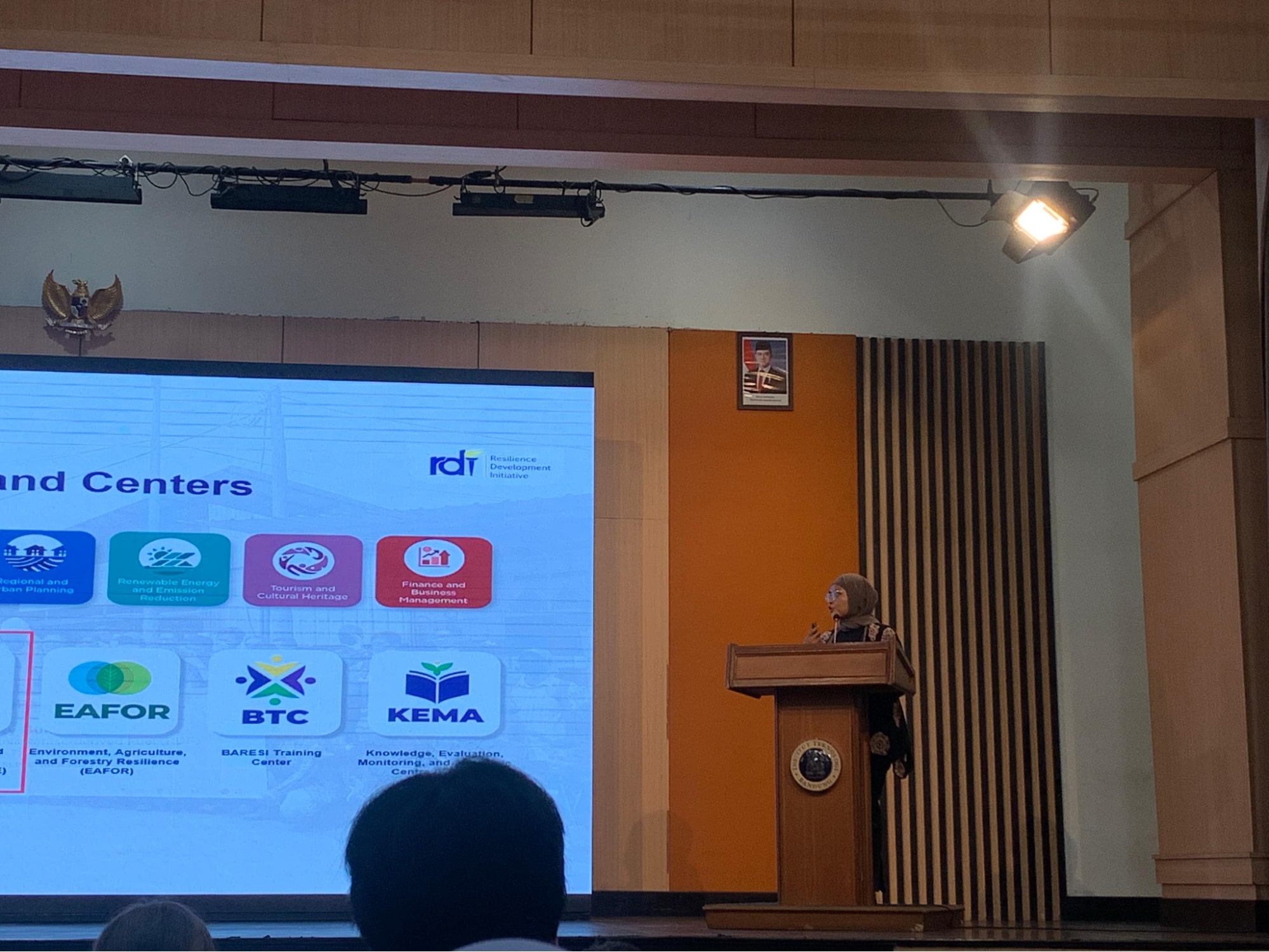
Source: Resilience Development Initiative (RDI) documentation
The Bandung Metropolitan Area is home to over 9 million people. While becoming a rapidly growing urban region, it is surrounded by geological hazards. For instance, the northern region falls across the Lembang Fault, which previous studies have shown could generate a magnitude-7 earthquake. There are at least four active volcanoes scattered around the area, posing hazards such as destructive eruptions, volcanic ash, and gas hazards. These hazards pose threats to people, infrastructure, and businesses. In collaboration with the British Geological Survey (BGS), the University of Leeds (UoL), the Institut Teknologi Bandung (ITB), and the Badan Riset dan Inovasi Nasional (BRIN), the Resilience Development Initiative (RDI) kick-started the EXPOSED Project on 8 June 2025, bringing together researchers and policymakers.
Getting to Know the Project
The event was opened by remarks from representatives of ITB, Bandung City Government, and West Java Provincial Government, emphasising the importance of science in informing decision-making. The Principal Investigators (PIs), Dr Ekbal Hussain (BGS) and Dr Endra Gunawan (ITB), introduced the project's aims: to understand the potential impacts of these hazards on the city, identify infrastructure and demographic groups most exposed, and begin developing targeted interventions to improve community resilience through an artistic approach.

Source: Resilience Development Initiative (RDI) documentation
The project itself is broken down into three Work Packages (WPs): hazard scenarios (WP1), physical and demographic exposure (WP2), and community empowerment (WP3). The representatives of each WP presented their proposed contribution, unique to their expertise. Dr Julia Crummy (BGS), Dr M. Aufaristama (BRIN), and Dr Adrin Tohari (BRIN) brought their expertise in volcanology, landslides, and liquefaction to WP1, essential in analysing geohazards surrounding the Bandung Metropolitan Area.
Dr Vidya Azizi (RDI), Deni Patudin (Dinas Cipta Karya, Bina Konstruksi dan Tata Ruang (Public Works, Construction, and Spatial Planning Agency) of Bandung City), Dr Dian Nuraini (BRIN), Dr Prasanti W. Sarli (ITB), and Scott Watson (UoL) offered various ways to analyse infrastructure and demographic exposure through remote sensing, artificial intelligence, and 3D modelling for WP2.
Dr Rahma Hanifa (BRIN), Andry Heru (Badan Perencanaan Pembangunan, Riset, dan Inovasi Daerah (Regional Development Planning, Research, and Innovation Agency) of Bandung City), and Dr Prananda Luffiansyah (ITB) provided engaging approaches to elevate community resilience.
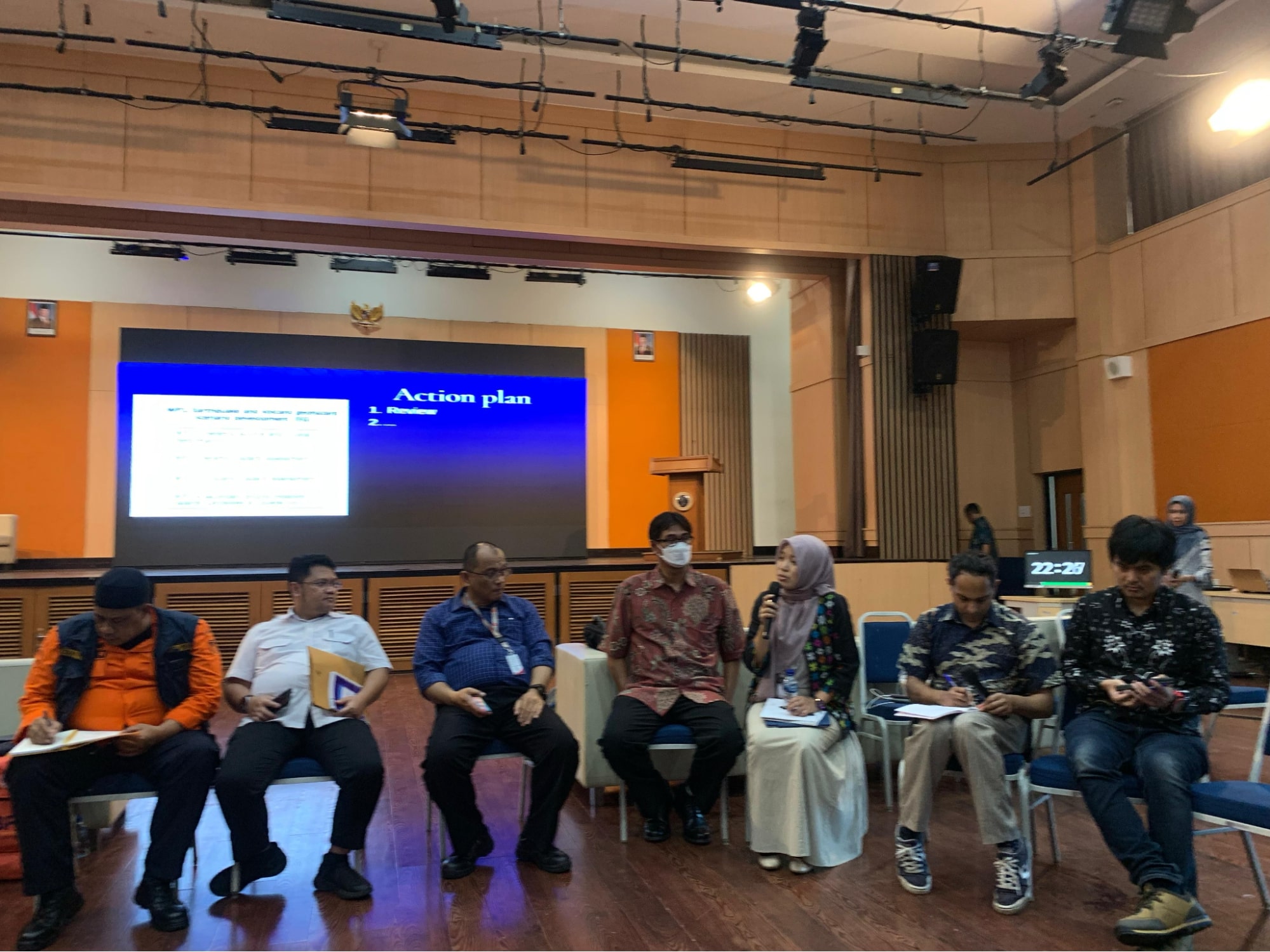
The last agenda item of the event involved a roundtable discussion between researchers and policymakers aimed at finalising action plans for each WP. Every proposed approach from previous sessions was taken into account, and activities for each WP were determined with input from participants.
The scale of geohazards posed to the population of the Bandung Metropolitan Area, along with its high exposure, established an urgency for this project. The project aims to fill this knowledge gap, which would be especially valuable for policymakers and communities in increasing disaster resilience.
Date: July 29th, 2025
Written by: Muhammad Asa (Research Officer) and Nadira Alyssa (Outreach Coordinator)
